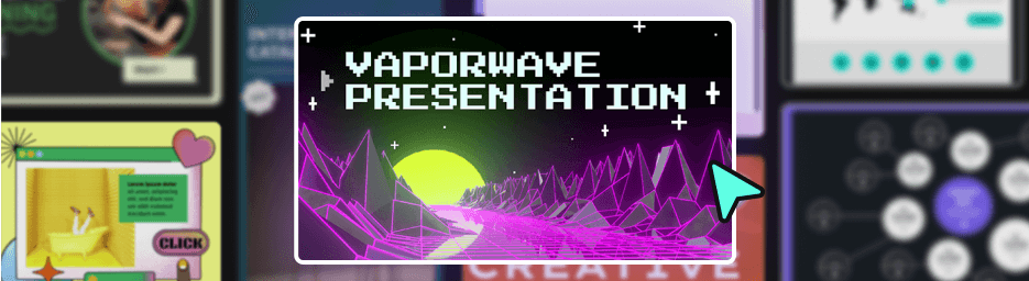
Interactions & Animations
Turn static content into engaging experiences in just a few clicks. No coding!
Genially AI
Speed up content creation with the help of AI, integrated into every step of your workflow.
Accessibility
Create interactive content that’s accessible for everyone.
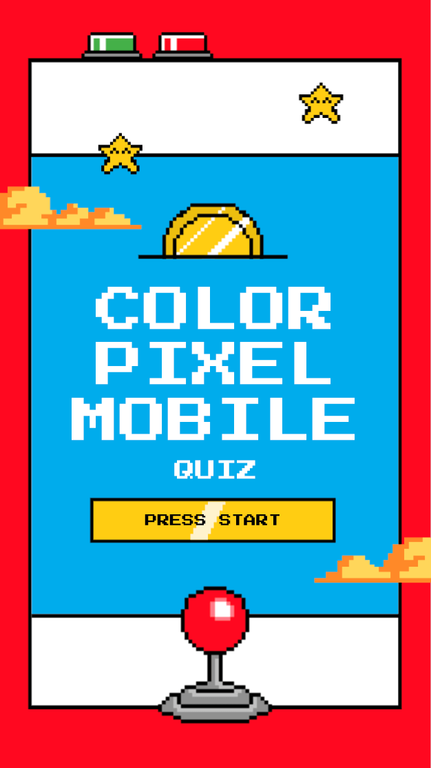
Widgets
Pre-built widgets are your shortcut to dynamic content, fun games, and sleek visuals.
Brand Kit
Roll out consistent and on-brand content as a team.
Collaboration & Team Management
Live co-editing and advanced controls for administrators.
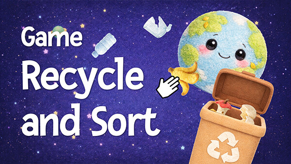
Quiz Builder
Assess students and collect feedback from your audience with interactive questions.
Sharing & Publishing
Share, embed, and download content with flexible privacy settings.
Collaborate with your students
Help your students develop digital, design, and teamwork skills by building their own interactive projects.
Present & Play Live
Host quizzes, games, and interactive presentations with real-time audience participation.
LMS Integration
Sync student scores to your LMS gradebooks with SCORM and LTI.
Integrations
Embed rich media and online documents from your favorite apps and websites.
Design Tools
Get polished and professional results with intuitive tools and templates.
Analytics & Assessment
See how people are engaging with your content in the Activity dashboard.
Security & Privacy
Genially protects user data and complies with standards like GDPR and SOC 2.